The People and Place team recently undertook an initial scoping trip to assess the known locations of late Roman to early medieval burial and settlement sites in Northumberland. The purpose was to examine the location of each site in relation to the local environment and explore relationships with topography, water courses and sources and transportation routes. We were also checking locations to ensure we have precision data on cemetery locations. Several trends emerged on Day 1 which will of course see further analysis. For example, many of the sites we visited in northern Northumberland were located very close to water sources – notably either the coast or fairly prominent inland navigable rivers. The importance of water for transportation and as a natural resource is well recognised. The distribution of early medieval burial sites in relation to major inland water courses is a recognised feature of many areas of southern and eastern Britain.
Bowl Hole Cemetery, Bamburgh, view to the east, with the North Sea beyond the dunes in background of image © Brian Buchanan.
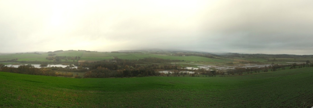
The Bowl Hole cemetery at Bamburgh, excavated by the Bamburgh Research Project team from 1998-2007 (https://bamburghresearchproject.wordpress.com), is located to the east of a small ridge within a bowl-shaped depression among extensive sand dunes on the North Sea coast. Much of the sand dune inundation is late in date. Never-the-less, we can assume that the cemetery flanking the early medieval elite complex, lay within close distance to the wild North Sea shoreline. In the Till valley or Milfield basin, river proximity is significant. Yeavering, excavated by Brian Hope-Taylor in the 1950s-60s, is situated on a gravel terrace adjacent to the River Glen. The settlement most likely dates to the 6th and 7th centuries AD. It was a villa regia, a royal centre containing large timber halls and two distinct burial areas. Other early medieval settlements in the Milfield Basin are located on similar gravel terraces overlooking the River Till and/or its tributaries. There appears to be a regional pattern of occupation and land use in the basin on gravel terraces immediately adjacent to rivers and river confluences and flood plains in the 6th-8th centuries AD. This pattern may also be related to archaeological visibility of early medieval cropmarks on these landforms but this does provide areas for future research. In contrast to the Milfield Basin where most of the known early medieval sites are located on the valley floors (albeit on elevated gravel terraces) the sites we visited in Coquetdale were along the valley’s edge on the top of the rolling hills leading down to the River Coquet basin. The situation of known Anglo-Saxon burial sites along the escarpment edge overlooking major river valleys offers evidence of apparently markedly different choices and motivations, much more familiar along the river valleys of Sussex and the eastern coast and East Yorkshire. . The sites we visited are largely findspots, although some have seen excavation, but casual discard or loss and other depositional processes need to be born in mind alongside settlements or cemeteries.
Coquetdale, with the river Coquet at flooding level due to heavy rains © Brian Buchanan
In addition we were interested in the relationship of Roman road networks and early medieval sites. The path of two Roman roads, the Devil’s Causeway and Dere Street lie in modern day Northumberland. A number of early medieval sites are located in close proximity to these roads. This project is also interested in understanding late-Roman burials in order to contrast their appearance, spatial location, and skeletal evidence with the early medieval sites. Our final stop on the second day was to Rochester, Northumberland to examine the relationship of Roman period burials to the Roman fort of Bremenium. The impressive ruins of the fort are at the confluence of Dere Street and a Roman road connecting this location to the Devil’s Causeway. The fort sits on the edge of a ridge overlooking the Rede valley. The fort was constructed during the Agricolan campaigns and was later rebuilt in the 2nd century AD. It remained a fortification even after the pullback to Hadrian’s Wall. The nearby burials, identified by the HER and placed in the late Roman period are within sight of the fort. The fort itself has extant walls and ditches and is well worth a visit! Early medieval metalwork finds have recently been discovered at Rochester suggesting that like many Roman sites in the North East, activity continued in the 5th-6th centuries AD.
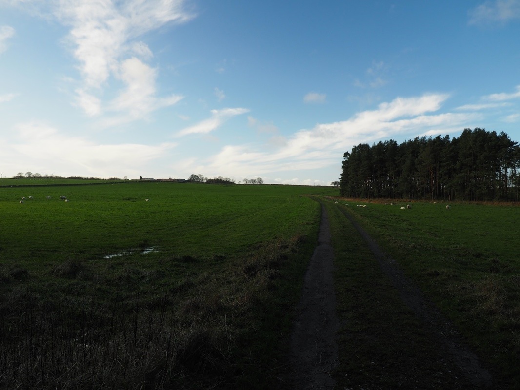
View of the southern Northumberland landscape, © Brian Buchanan
We achieved a definite understanding and feeling for the landscape of Northumberland and the potential relationships and patterns in the locations of early medieval burials, settlements, and findspots. Perhaps most importantly we were able to reposition the sites in our GIS after visiting their locations. The regional differences in topographic relief, access to water, and geomorphology have begun to come into focus, and this trip provided a good example for field visits for the other parts of the study area.


 RSS Feed
